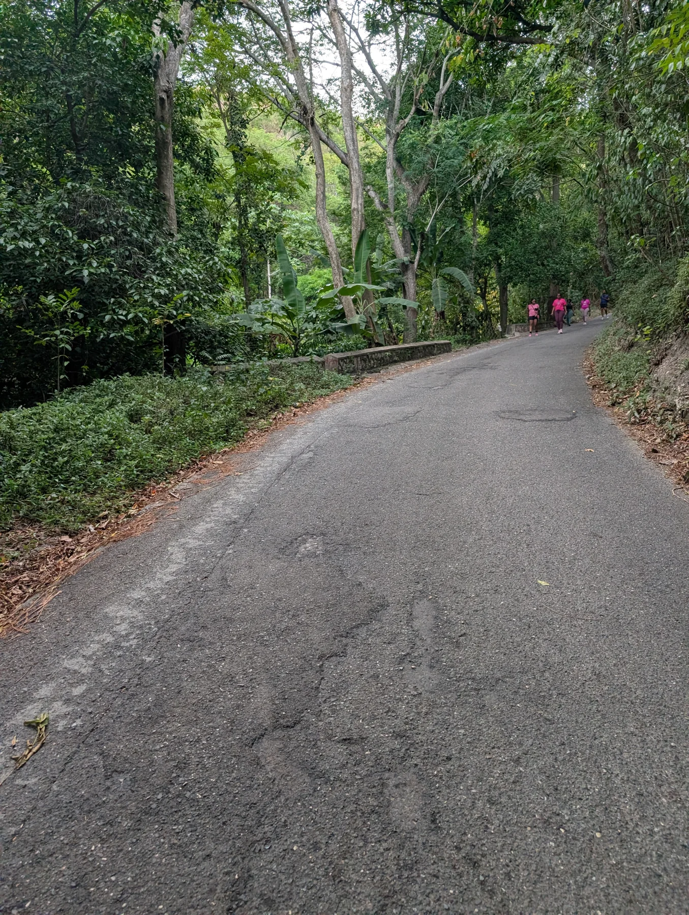
Our Mountain Spring walk, 2 October 2026. Photo: Lifestyle Hikers
What to expect
A moderate walk we do occasionally in Mountain Spring, St. Andrew. Our Friday, October 2, 2026 outing was an informal walk outside the regular hike schedule. A paved road beneath dense tree cover provides the setting for a steady climb and return.
Trail summary
- Difficulty
- Moderate
- Last hiked by us
- 2026
Informal Friday walk on 2 October 2026, confirmed by the organizer and a COROS recording. We walk here occasionally.
Our Friday walk · 2 October 2026
An informal Friday walk on a route we return to occasionally, outside our regular hike schedule.
- Recorded distance
- 2.59 km
- Ascent / descent
- 186 m / 174 m
- COROS workout time
- 58 min 18 sec
- Total elapsed time
- 1 hr 26 min 25 sec, including pauses
These measurements describe this recording; your distance and time will depend on where you start and how far you walk.
Loading the recorded route…
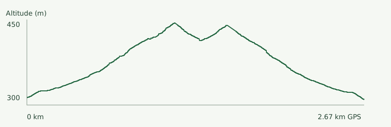
The line follows the watch recording. Its start and finish mark the recording endpoints, not a designated meeting point. Confirm access before following it.
Access and planning
Access
Mountain Spring is in the St. Andrew hills near Jack's Hill. Confirm the walking start and current road access with the organizer; this recording does not establish access to adjoining private land.
Preparation
Wear shoes with grip, bring water, and allow for the climb and pauses. Stay alert for road traffic and check conditions after rain.
Conditions can change rapidly. This information is advisory and does not guarantee trail safety.
Research source
This listing was prepared from the source below. A source check confirms published information, not current on-the-ground safety or access.
Mountain Spring to Skyline — nearby route context on Wikiloc (a different walk)